Functional prototype under development and validation.
Rüpü
A product by Estudio Albatros
Territorial information
Territorial information for protected areas.
It brings together maps, territorial information and practical guidance for visitors to protected areas, with its first pilot application in La Campana.
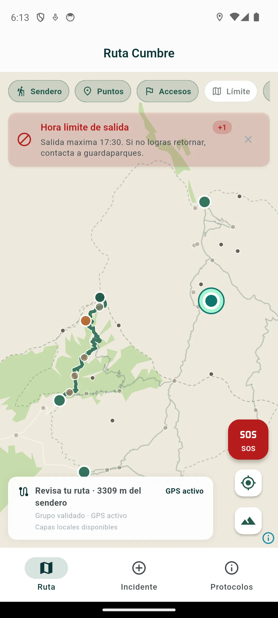
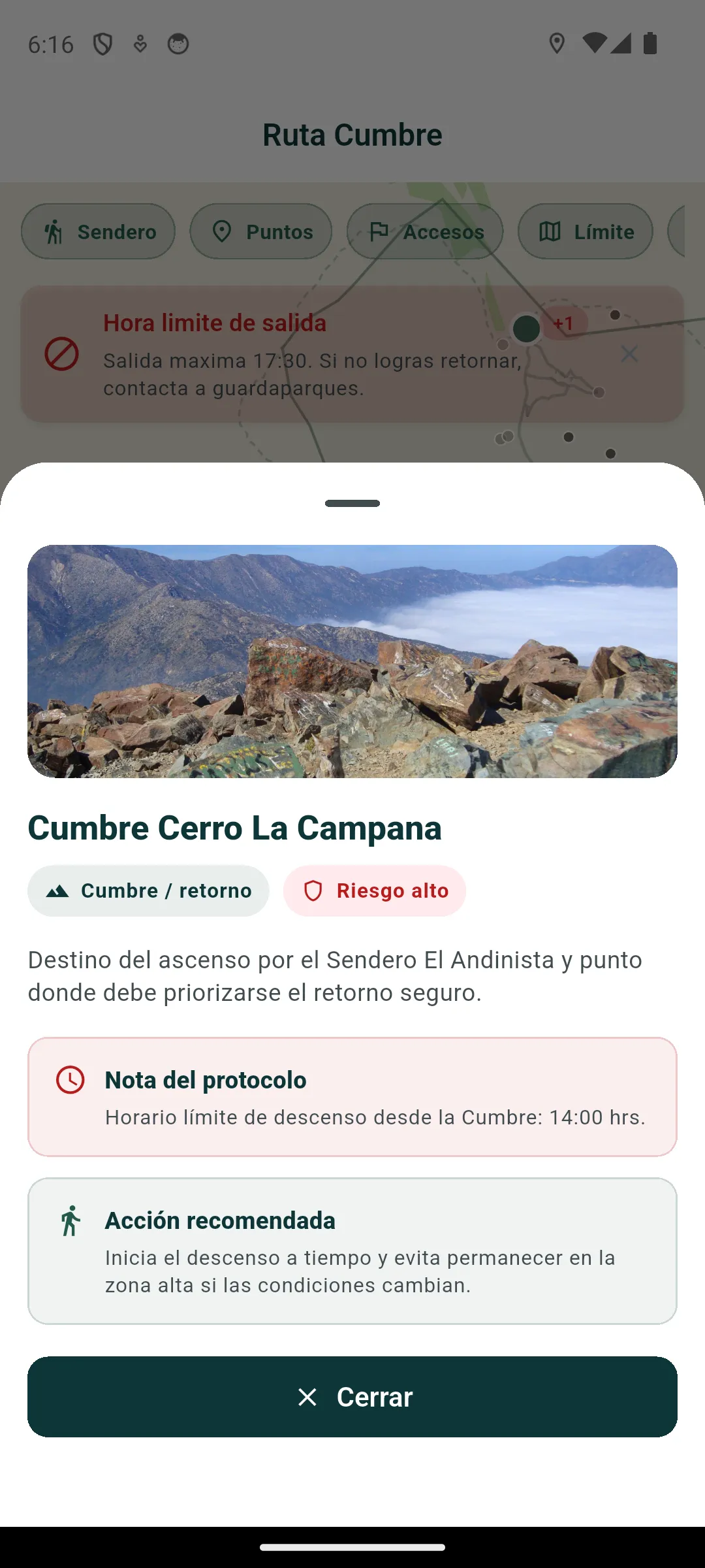
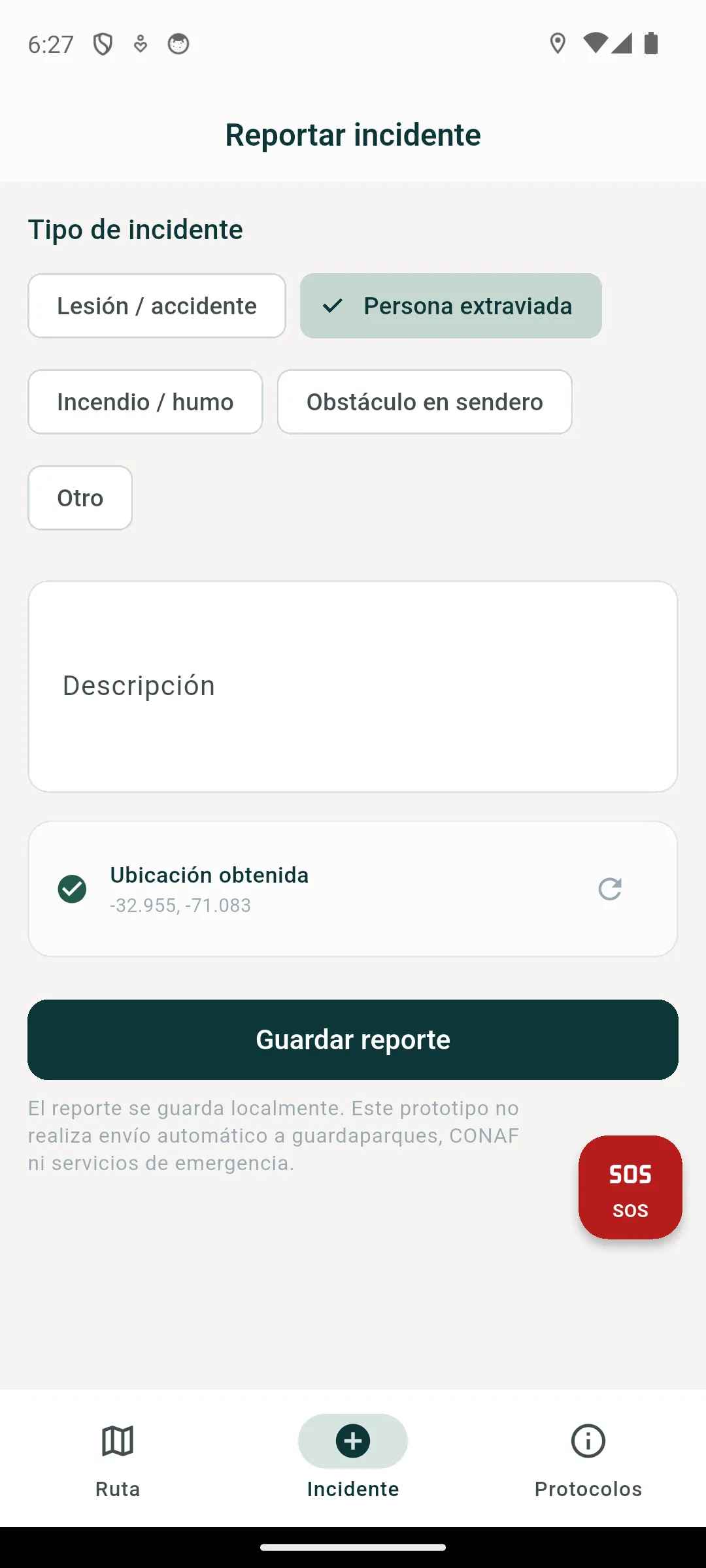
Rüpü prototype view showing the Summit Route, territorial layers and available location.
Mapping based on OpenStreetMap data. © OpenStreetMap contributors.